


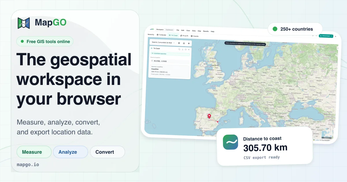
MapGO is a browser-based geospatial workspace that allows you to perform mapping tasks, analyze locations, and convert data formats without installing any GIS software.
How far is this point from the sea? From the nearest border? Which country, region and district is it in? MapGO answers those in one click, then converts your Shapefile, GeoJSON, KML or GeoPackage into whatever format you need next. No GIS software, no install, it all runs in the...
Tool stats
Domain authority, AI visibility, directory reach, and listing owner
Current 20+2 since Oct 12
What you get
Key features
Capabilities that define this tool
Distance to Coastline
Get the exact distance from any point to the nearest sea, measured against high-resolution global shoreline data
Distance to Border
Find how far a point sits from the nearest administrative boundary, drawn on the map so you see which border matched
Location Hierarchy
Turn any coordinate into its full continent, country, region and district chain in one lookup
File Conversion
Convert between Shapefile, GeoJSON, KML, GeoPackage, FlatGeobuf and SQLite, and reproject while you're at it
Spatial Measurement
Measure distance, area, radius and compass bearing by clicking on the map, in metric or imperial units
Intuitive Workspace
Draw, layer, style and edit your own map data in a clean workspace that needs no download or setup
Common questions
Frequently asked questions
Quick answers about this tool
Community voice
Reviews for MapGO
One honest review per account — rating required, comment optional.
Latest reviews
More to explore
Featured tools
Related and featured listings from the same category








AI Directories
Join our newsletter
Daily AI news, new tools, directories, and deals — fresh in your inbox every day.






Trusted by 1000+ founders